Site Investigation
Site Investigation: January 14-15, 2022

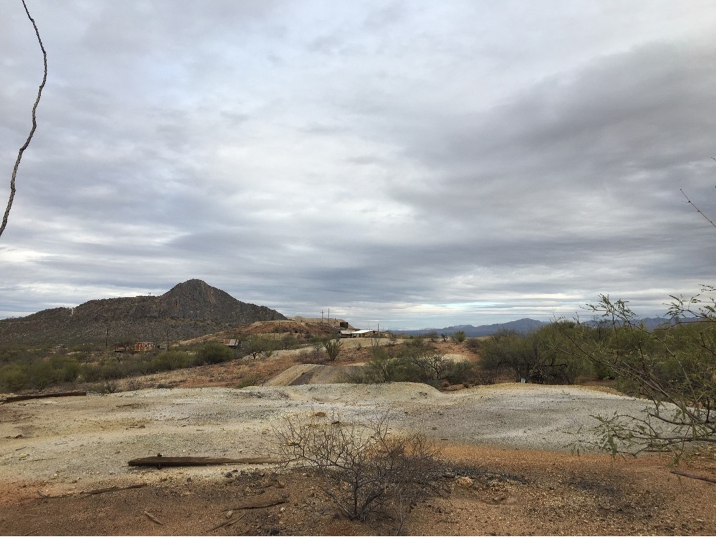
Figure 1. Olivette Mine Site (Photo Credit: Emily Henderson)
January 14th:
Weather: overcast skies, no wind or precipitation
Flagged Entire Site and collected 23 Grid samples.
January 15th:
Weather: sunny, medium winds and no precipitation
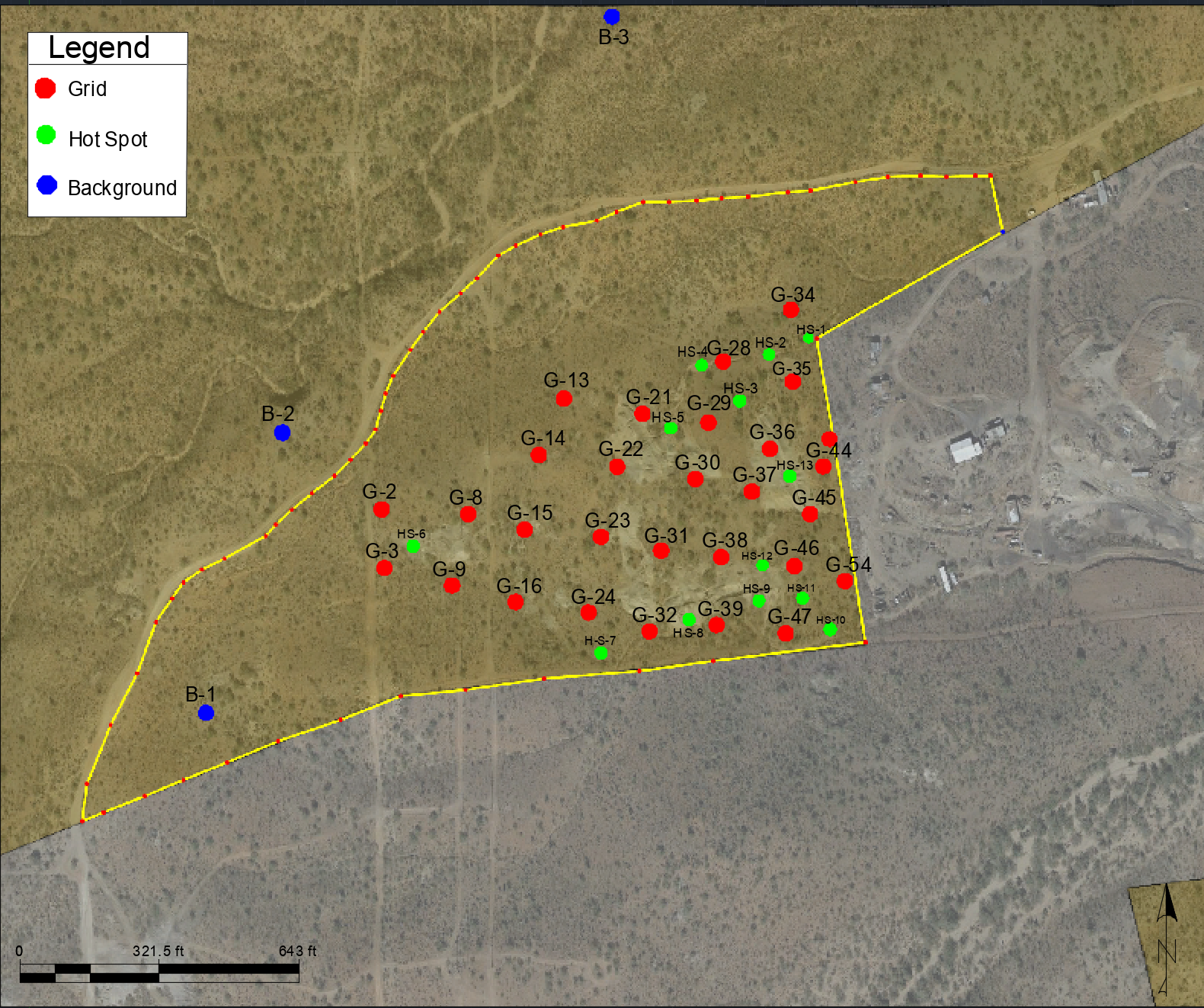
Collected remaining 5 grid samples, 2 field duplicates, 13 hotspot samples, and 3 background samples. We conducted a Flora and Fauna survey as well as assessed the site for possible contaminate migration pathways.

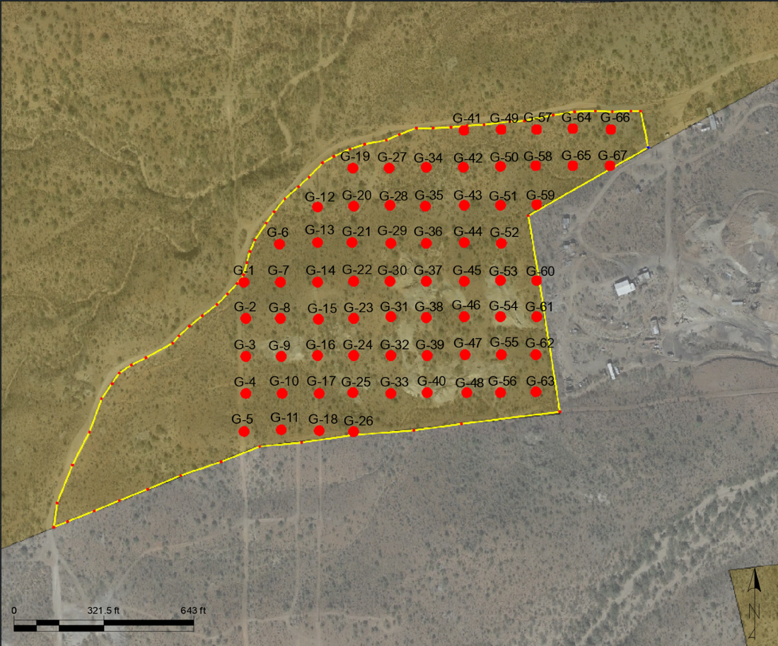
Figure 2: Original Sampling Map

Figure 3: Actual Sampling Map
The Original Sampling Map was gridded using true north while in the field, we flagged the sample locations using magnetic north. The empty space in the north of the site on Figure 3 was up-gradient of the site and determined to be background area so grid samples were not placed there. The hot spot samples were chosen in field on or around tailings piles or in areas of possible contaminant migration. Background samples were also chosen in the field in areas up-gradient of the site and not likely contaminated.
