Project Information

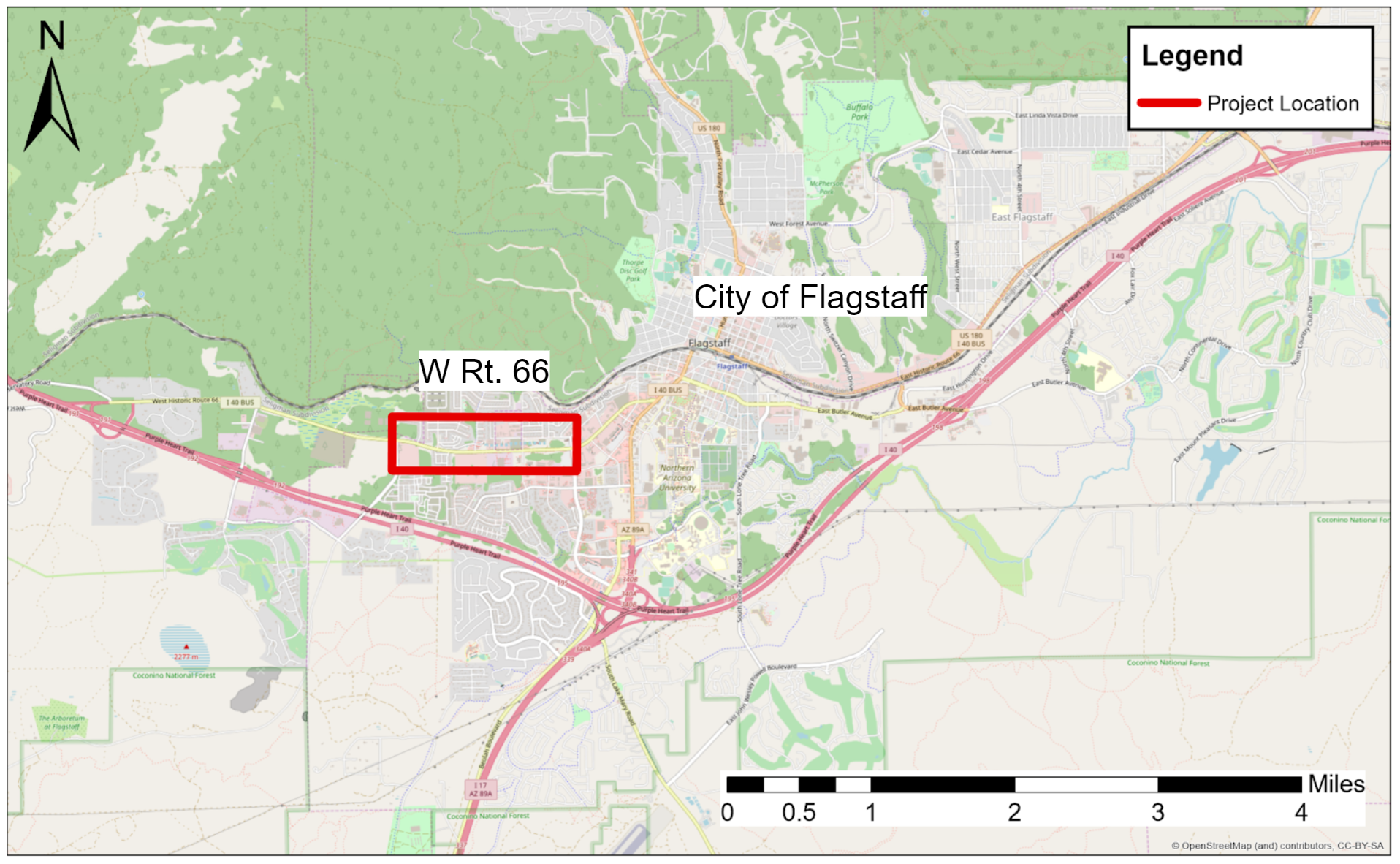
Project Location
The project location is West of the City of Flagstaff. This map was created using GIS Arcmap.
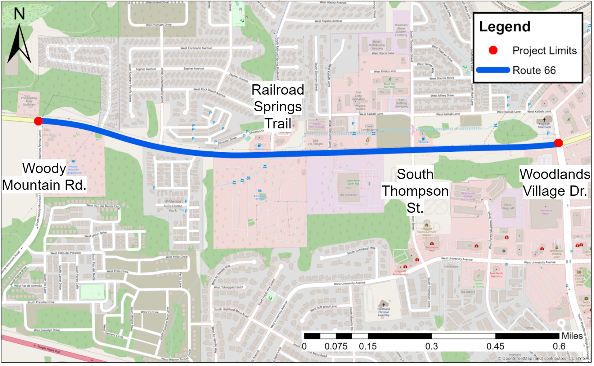
Project Site
The project site is a segment of West Route 66, between Woody Mountain Road and Woodlands Village Drive. At the intersection of Railroad Springs Trail and South Thompson Street, there is heavy congestion. This map was created using GIS Arcmap.

Project Constraints
The design constraints include design of new storm water drainage system, increase capacity of roadway segment, and increase box culvert capacity for water runoff.
