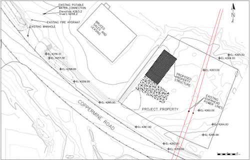
Team Outliers relied on existing GIS data, preliminary surveys, and Google Earth to locate existing utilities. Such as water, sewer, and electrical power lines.

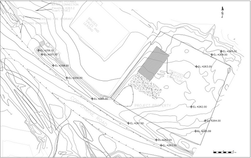
Team Outliers produced a topographic map of the existing terrain from the given GIS data. This topographic map is used to create a surface in AutoCAD Civil 3D.

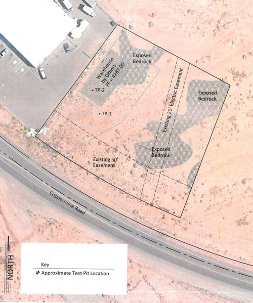
To gain an understanding of the existing conditions of the current site location. Team Outliers relied on existing geotechnical reports provided by Rosenberg Associates
