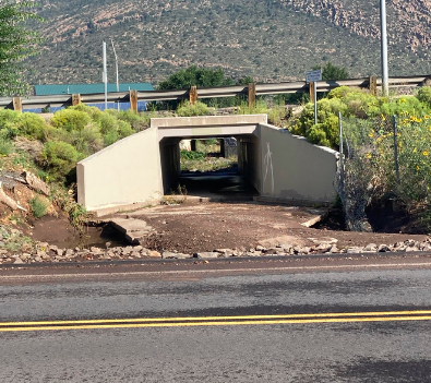
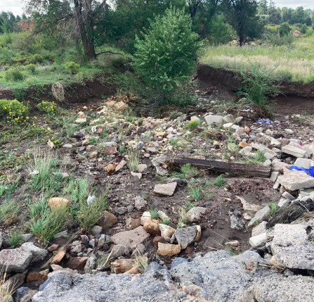
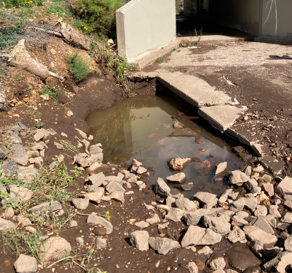
To begin, a preliminary investigation of the site was conducted to establish what information, boundaries and land features needed to be collected. The team decided to survey from the I40 culvert outlet to 50' into the Rio de Flag. Using a GPS and base, land surveying was completed to pick up site characteristics upstream and downstream on either side of Soliere Avenue. A site map and topographic map were developed from this.
After the site investigation it was determined the only other parameter needed for this intersection in the hydrologic analysis was the flowrates. Using the Federal Emergency Management Agencies (FEMA) Flood Insurance Study (FIS) for the area, the 50yr (design storm) and 100yr (check storm) flowrates were found to be 570 cfs and 730 cfs as highlighted in the image to the right.
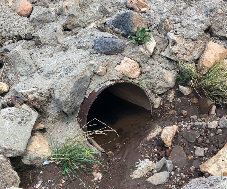
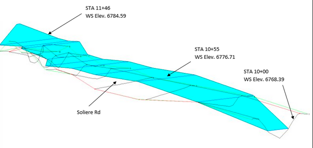
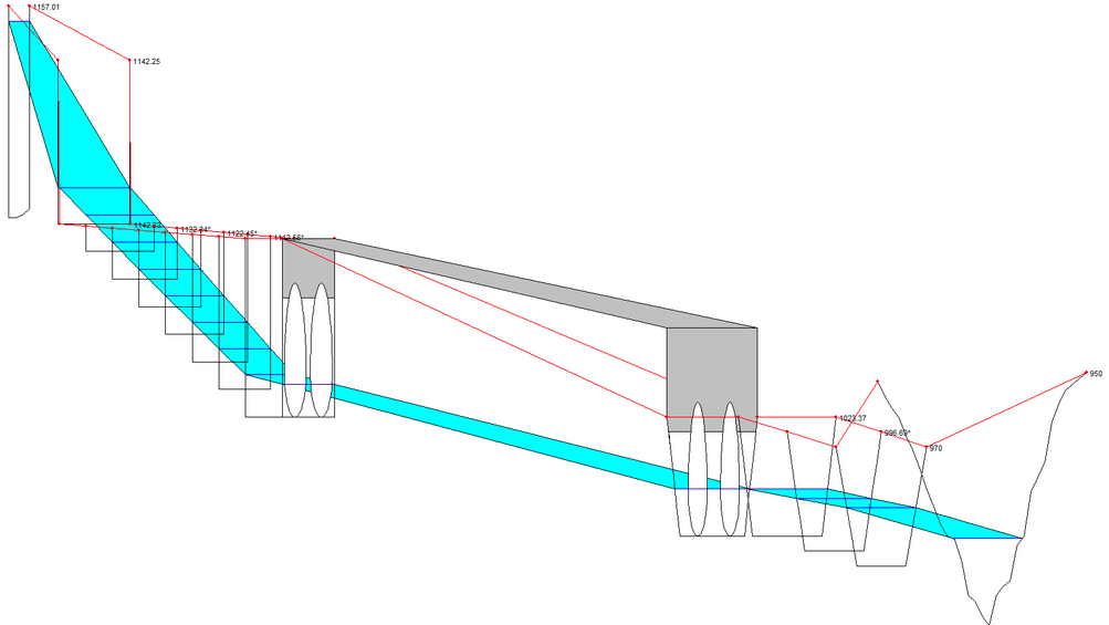
To model site conditions a model was produced through the use of HEC-RAS. The image below demonstrates an annotated 3D model of the flow across each of the cross sections. Due to the existing culvert at the site already being known to be clogged it was not included in the model however, the dips and the inlets and rocks on the surface clogging it were taken into account during the model. The 50yr and 100yr storm events were both analyzed to determine the type of conditions the new culverts would need to convey.
From the analysis of results performed using HEC-RAS and CulvertMaster the final design selection was a Double Pipe Arch 4.5'x5.9. The selection of this design was done through the use of a decision matrix which can be found with the potential solutions on the project information page. This design worked the best in improving the drainage conditions for the 50yr and 100yr flood intervals by coneying water beneath Soliere Avenue and into the Rio de Flag. Depicted below in the 3D model the design doens't allow overtopping ontopping onto the roadway. Additionally, the arch shape creates increased friction along the sides of the CMP as it fills up which significantly reduces the velocity at the outlet. This design required a new channel to be implemented upstream to convey the water from near the exit of the I40 culvert low enough beneath the road and into the Rio de Flag as well as some cross-section modification downstream of the outlet. Additonal documentation and extensive analysis may be found in the document section including a report, presentation, and conctruction planset of the process.
created with
Offline Website Builder Software .