Mars Hill/Lowell Observatory Truss Bridge

Home | About | Bridge Technology | Site Location | Project Background | Design Process | Final Design
Site Location
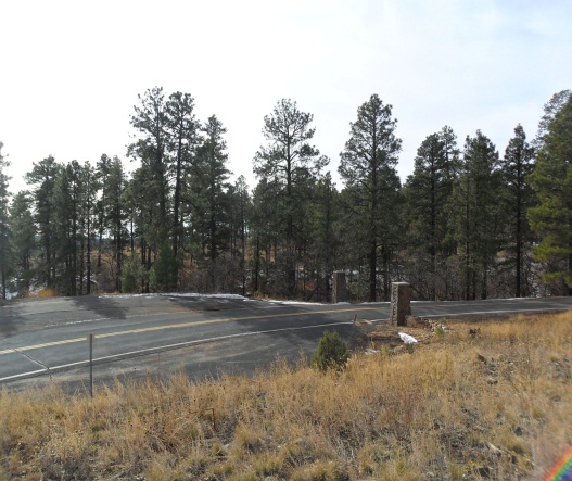
The bridge will be located along Mars Hill Road, approximately 60 feet to the northwest of the pillars at the entrance to the property. The location was selected by outside consultants.
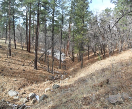
The project site contains a ravine in a heavily wooded area.
On the north side of the project area there is a paved
two-way, two-lane road (Mars Hill Road) that runs along the top edge
of the ravine. The south
side of the ravine is accessible by a rough dirt road that meets
Mars Hill Road just west of the machine shop, on the Lowell
Observatory property.
The project site is in its natural state.
The ravine begins on the northwest corner of the project site
and it becomes deeper and wider as it continues to the southwest.
The ravine carries seasonal water flows that are managed by a
detention dam located northwest of the proposed project site.

Figure 2: Project site looking Southwest

Figure 3: Project site looking Northwest