Introduction
New technological advances have opened opportunities
for space research and exploration. The majority of this
exploration is through launching satellites that orbit planetary
bodies, including planets, moons, and asteroids. These satellites
collect large amounts of data and take images while orbiting the
planetary bodies. The information is then sent back to Earth for
the planetary science community to research and better understand
our solar system.
As space exploration increases among both federal
agencies and private citizens, there is a need for
community access to accurate planetary maps and data.
Mars is a target for exploration due to its proximity to
Earth inside of our solar system. In order to plan for
future exploration, it is vital that scientists use the
data and images that our satellites and non-human space
missions have gathered.
Using these resources, scientists can perform analyses
of data from Mars to plan for future missions and scientific
discovery. There are many tools that allow scientists to
analyze and create maps from the information gathered;
however, these tools are not well-developed. The planetary
science community processes these images by using software
that requires extensive knowledge for complex tools.
In addition, the planetary science community must store
terabytes of data on their own devices in order to interact
with and research the images.
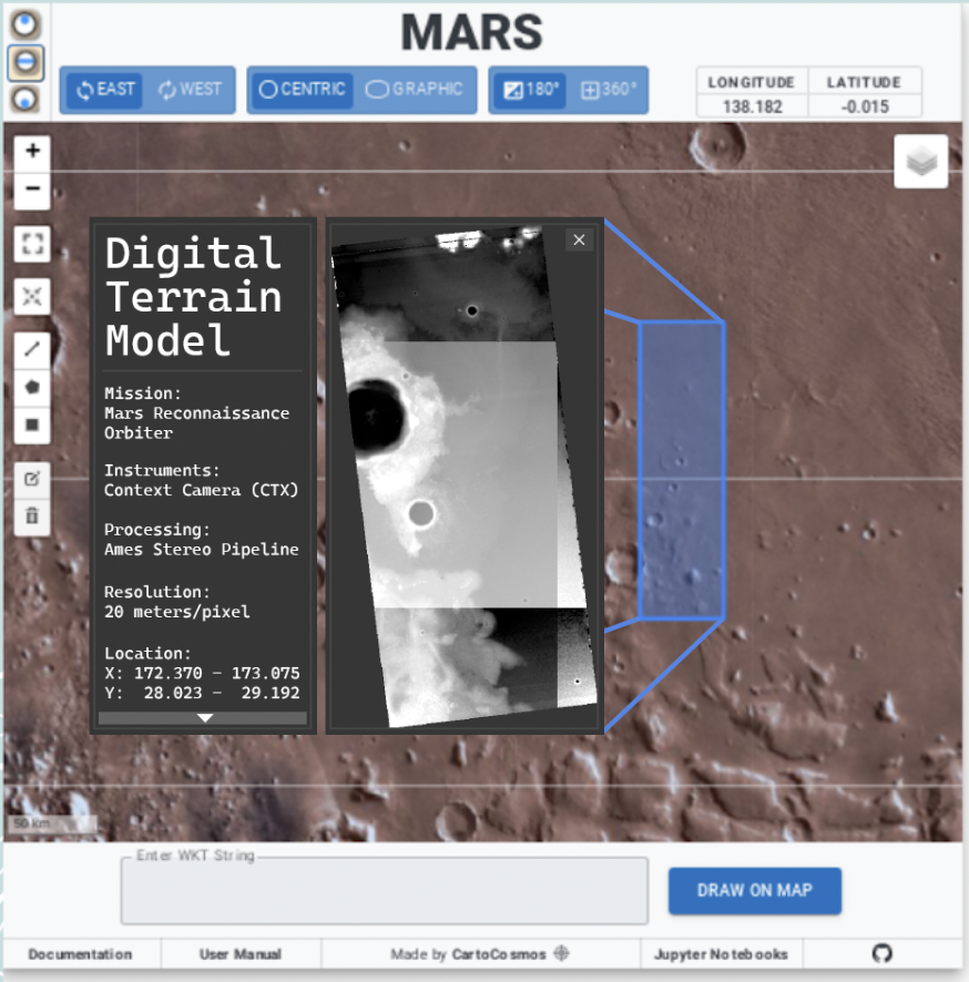
The United States Geological Survey (USGS) Astrogeology
Science Center (ASC) in Flagstaff Arizona provides the
international planetary science community with analysis
ready data. These products support research in planetary
cartography, geoscience, and remote sensing. The ASC also
develops software for scientific and cartographic analysis
of planetary data. The planetary data is distributed to the
international scientific community. Finally, ASC provides the
community with cartographic products and archiving data.