Who is this project for?
We created this Blender plug-in as a capstone project for NAU in conjuction with the USGS. However our plug-in is open source, which means it's free and available to everyone.
What does the plug-in do?
Our plugin for Blender automates the process of creating 3D images and flyover animations of DEM images.
How do I use the plug-in?
Our plug-in works on Mac/Linux/Windows. For a detailed look at how to install the necessary tools to start using the plug-in check out our user guide.
Project Goals:
- Better integrate the GDAL raster library to load Digital Elevation Models (DEMs) into Blender
- Create and overlay color hill shaded textures for DEM images from Blender using exiting GDAL binaries
- Define predefined fly-over tracks for the 3D model for rendering an animation
- Automate Flyover animation video creation, exporting to .mp4
- Make this whole process as automated as possible
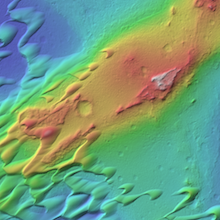
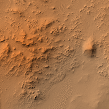
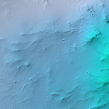
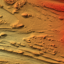
Some sample image textures:
Sample of a Linear Flyover Video:
About Us
We are a creative team of young software engineers. Our team has a wide range of experience and talents. This project is our senior capstone project in the Northern Arizona University CS degree program. This project has been done in conjunction with Trent Hare of the USGS in Flagstaff, Arizona.
LEARN MORE


