TSEGI WASH CAPSTONE PROJECT
TSEGI WASH CAPSTONE PROJECT
Project Site Information:
Background
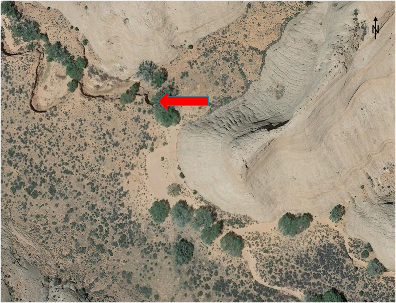
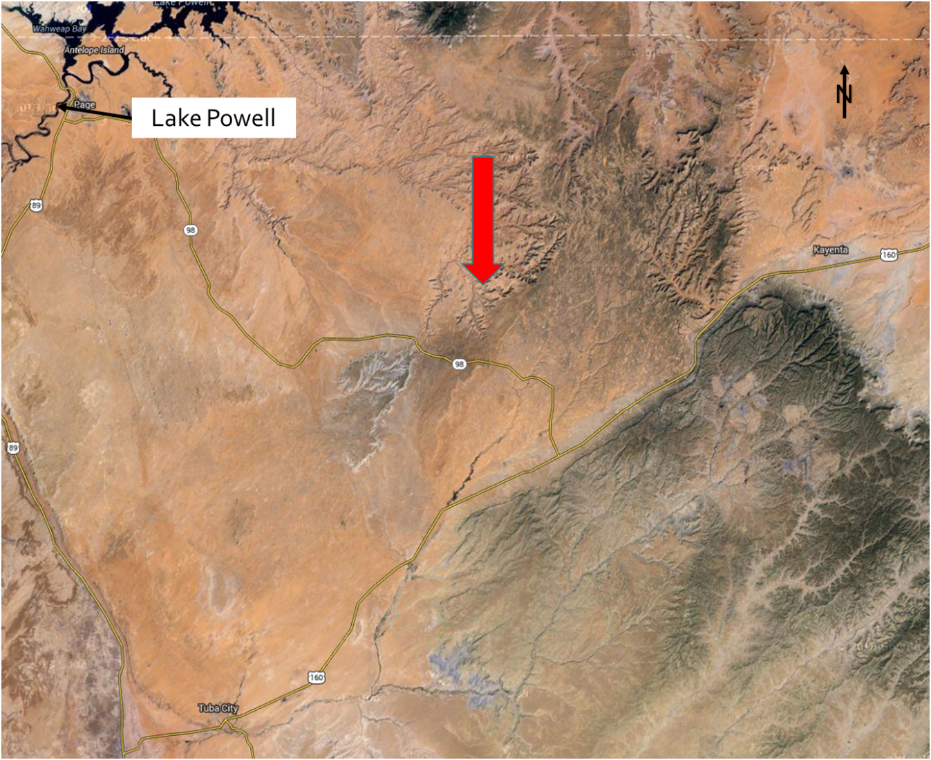
Tsegi Wash is located in Nitsin Canyon, west of the Navajo National Monument. NavajoNational Monument is divided into three units, the designated unit for this project will be the Inscription House unit, which is comprised of 40 acres. Inscription House hasbeen closed to the public since 1968 to preserve the site. About 50 years ago the canyon consisted of farmland and housing structures, but around 40 years ago the headcut began spreading along the canyon reducing the available farmland. The current land user inside the canyon owns the cattle contributing to the soil erosion problem due to their grazing. As the cattle graze they uproot the grass, removing one of the sources of stabilization for the canyon.The lack of soil stability near the site may be due to the cattle grazing and lowering of the water table. The vegetation at the site includes cottonwood trees, willows, and shrubbery. The bed material at the headcut is composed of a sandy soil. Currently, the only source of stabilization at the headcut comes from the roots of the nearby cottonwood tree. The headcut is located a quarter mile upstream from the point water source at the canyon. The canyon drains 30 miles downstream into Lake Powell. Below is an aerial view of the canyon where the site is located and a closer overhead view of the headcut.
Photos Courtesy Google Images
PROJECT
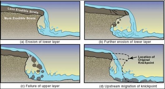
The purpose of this project is to determine the feasibility of a stabilization method to minimize soil erosion and stream scour of a channel headcut. A headcut is an abrupt vertical drop in the channel, resembling a waterfall. The following image is a visual representation of what's occurring at the site.
Figure 1. Erosion of a Headcut (Iowa DOT)
As seen in the figure above, during the rainy season when water is a plunge pool is formed at the bottom of the headcut, eroding the bottom layer causing the top layer to fail. As a result, the headcut continues to migrate upstream.
The existing site consists of a 23-foot high by 40 foot wide headcut, composed of sandstone. The site location is 36°40'04.4"N 110°48'52.2"W. The stabilization alternative chosen will act as a conceptual design and will not result in construction plans.


