Road and Drainage System Conditions

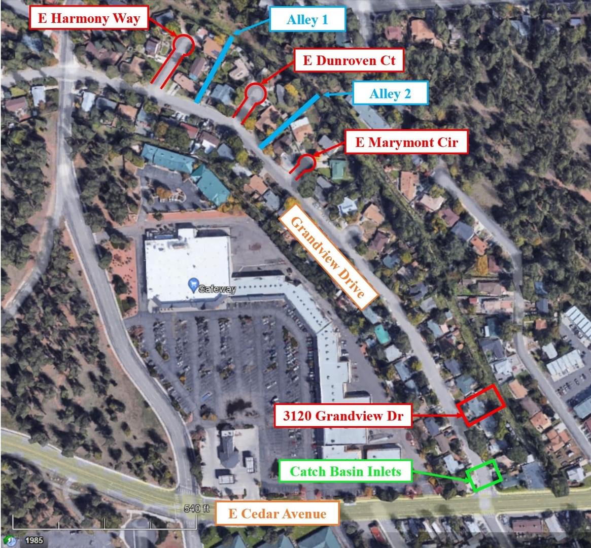
The current drainage system on Grandview Drive is a paved road, a roll curb and gutter, and two catch basin inlets at the end of the road near Cedar Avenue. The following map shows different components on Grandview Drive which were observed and noted during the Site Investigation. 

Figure 1: Map of Grandview Drive Roadway Conditions. Image created by Alexa Rosenthal
The road is a Local (Urban) public street. Roll curb are used instead of vertical curb and gutter and can be constructed on local streets in accordance with Maricopa Association of Governments (MAG) Standard Detail 220-1, Type C. Figure 2 shows the current curb and gutter system. This image was taken during the site investigation. 

Figure 2: Current paved road, curb, and gutter. Picture taken by Alexa Rosenthal
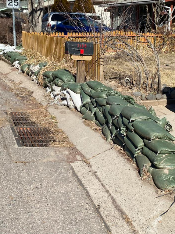
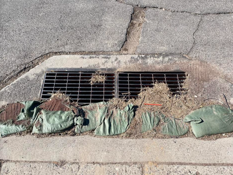
The catch basin inlets are constructed per MAG Standard Details. The inlets on Grandview Drive are located near the cross section of Grandview Drive and Cedar Avenue and convey water from the road to Spruce Avenue Wash. Figures 3 and 4 show the inlets at the end of Grandview Drive near Cedar Avenue. The green box in Figure 1 shows the location of the inlets. These catch basins will not be included in or connected to the proposed design.  

Figure 3: Catch basin inlet on Grandview Drive. Picture taken by Josue Valencia

Figure 4: Catch basin inlet on Grandview drive. Picture taken by Alexa Rosenthal. 
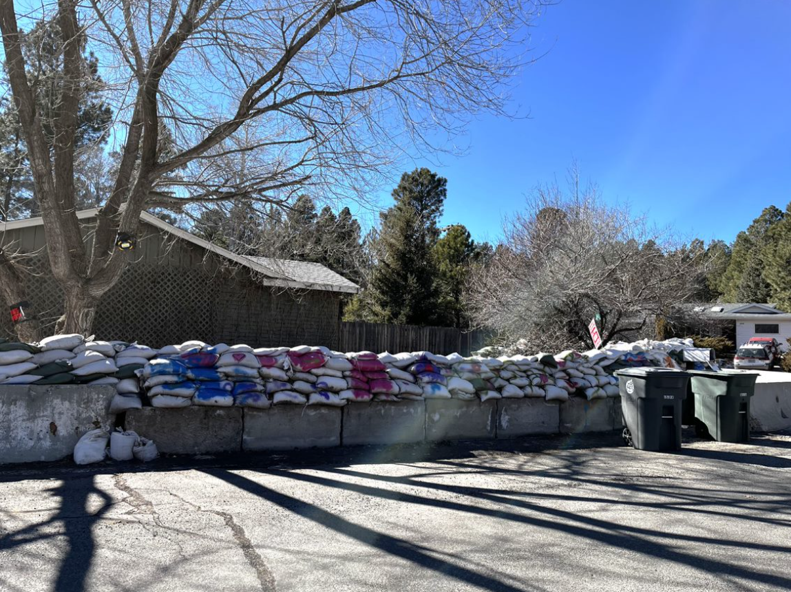
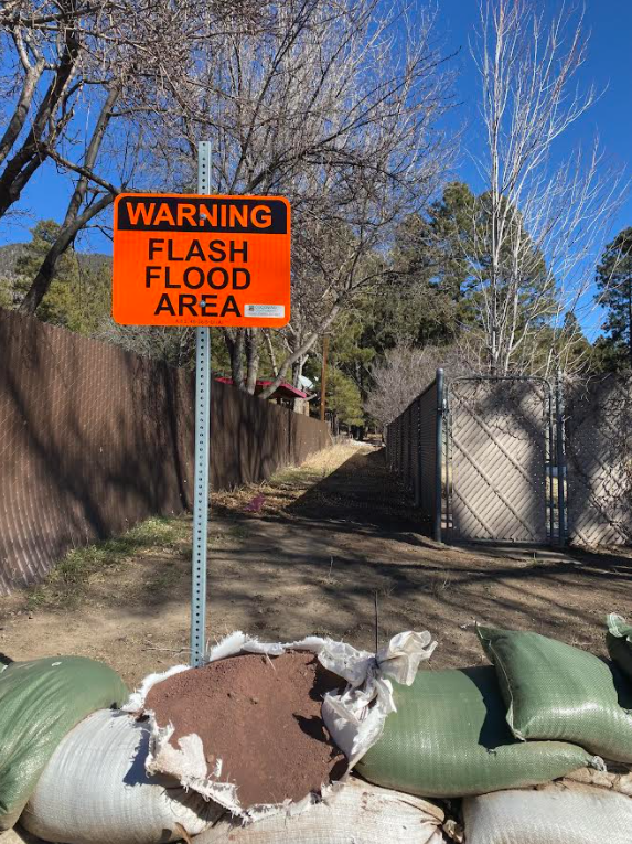
To mitigate the flooding experienced by the neighborhood, concrete barriers and sandbags were placed in front of houses. This is the temporary solution to prevent flooding from entering private property. Figure 5 below shows the barriers and sandbags on Grandview Drive. 

Figure 5: Sandbags and concrete barriers on Gr​andview Drive. Picture taken by Josue Valencia.
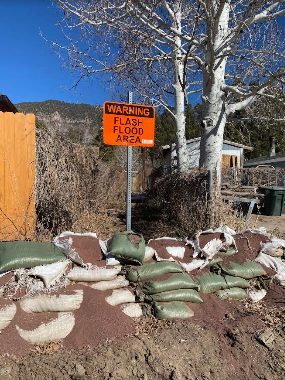
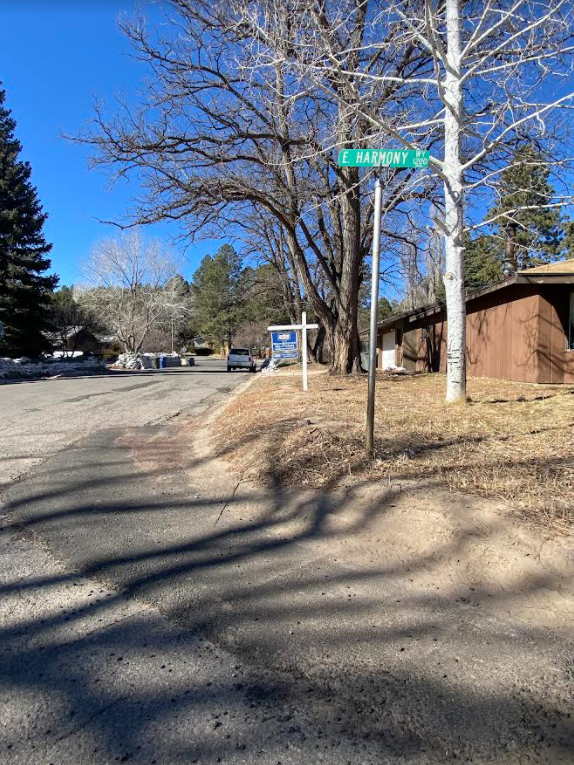
The alleys and property that may be used for the laterals were also identified and recorded. The property where a third lateral pipe may be proposed is 3120 Grandview Drive. Images of the alleys are provided below. Figure 6 below is the alley labeled Alley 1 on Fig 1. It is between E Harmony Way and E Dunroven Court.  Figure 7 below is the alley labeled Alley 2 on Figure 1. It is between E Dunroven Court and E Marymont Circle. 

Figure 6: Alley between E Harmony Way and E Dunroven Court. Picture taken by Alexa Rosenthal.

Figure 7: Alley between E Dunroven Court and E Marymont Circle. Picture taken by Alexa Rosenthal.