Project Location


Emerald Isle Mine is located in the northwest corner of Arizona at 35º21’43.98” N 114º11’32.84” W in Mohave County. The mine sits about 20 miles northwest of Kingman, Arizona and four miles south of the town of Chloride, Arizona, at an elevation of 3680 feet, as shown in the figure below.
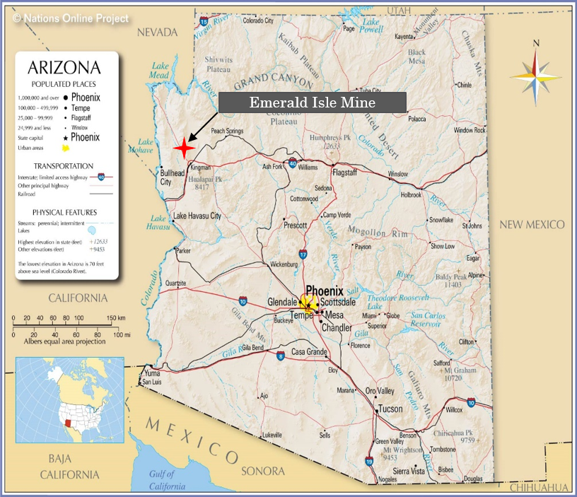
 https://www.mapsofworld.com/usa/states/arizona/arizona-map.html

In the next image, specific site components that will be used as decision units for sample separation and organization can be seen. The final decision unit formation and mine site maps will be included in the sampling action plan.
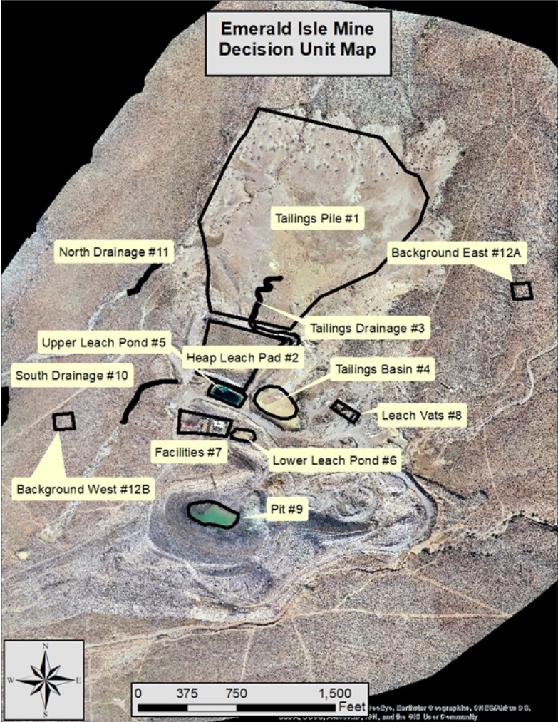
 

Site Map and Components: Used as base for Decision Units
Tasks and Exclusions


Tasks


Photo Credit: Madeleine Stoll


Exclusions

Exclusions of this project are hydrology, water sampling, and remediation alternatives.*


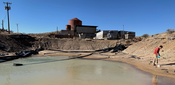
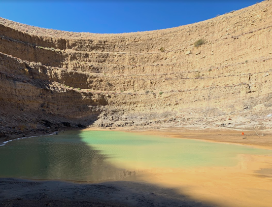
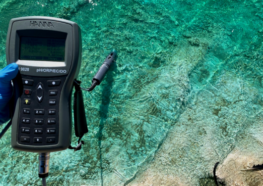
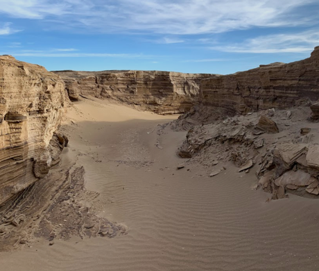
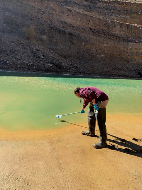
The images below are images from their sample taking trip.


Photo Credit: Madeleine Stoll

Photo Credit: Madeleine Stoll

Photo Credit: Madeleine Stoll


*It should be noted that a graduate student team will be analysing these items for this site.

Project Management


Scheduling


A schedule for the project’s duration and a general timeline was created using Microsoft Project. Outlined within the Gantt chart, seen below, are the durations and dates assigned to each task (major and minor) and deliverable specified in section 2.0. The stated durations in the Gantt chart include float. While the durations may be slightly longer than the minimum time necessary for each task and sub-task, the stated dates will be closely followed.

Gantt Chart

Gantt Chart


Staffing and Costs


Below is the estimated and actual hours worked on the entire project Scope of Work . The proposed budget has also been included. All three of the staff were in full attendance in the field investigation and sampling trip as the PE has requested to be fully integrated into the sampling of the site. The majority of work done by the PE will be overseeing the LAB and EIT’s work on the project tasks.

Table: Proposed and Actual Hours of Staffing of the Project


Below is the summarized table of the budget for the project, including personnel and other costs invested in the project.

Figure: Actual Budget of Project


Analysis and Risk Assessment


Sampling

Sampling was done in accordance to the Work Plan, which can be seen under Documents.


Photo Credit: Madeleine Stoll

Analysis

Analysis was performed on the samples taken from the site to determine the concentrations of contaminants within the soil. The analysis task followed the Work Plan and included sample preparation, lab analysis, and data analysis steps.


Risk Assessment

The risk assessment included analyses of toxicities of the COC’s, contaminant transport, exposure routes, and primary groups affected to determine human and ecological risk.

Link to to Analysis (see Results Maps) -

Results


PA/SI

A preliminary assessment includes:


● Review of existing information about the site

● A site reconnaissance

● Additional target information about the site

● Evaluation of the information that determined a site score

● A site summary report and completed site characteristics form


The site investigation identified substances present, possible releases of contaminants, and if the contaminants have migrated. The “four major activities” of the SI according to the Site Inspection Guidance Manual which were completed are:


● Reviewing available information and data

● Organize and develop SI work plan, sample plan, health and safety plan, and waste plan.

● Visually inspect site and collect samples.

● Evaluate all data and prepare the SI report


Link to complete PA/SI -

Documents


Photo Gallery


The following photos were taken during the initial site visit. Each photo is labelled with the specific site component that it shows. This initial visit assisted in the creation of the decisions units.

Contact


Team Email