Land Surveying
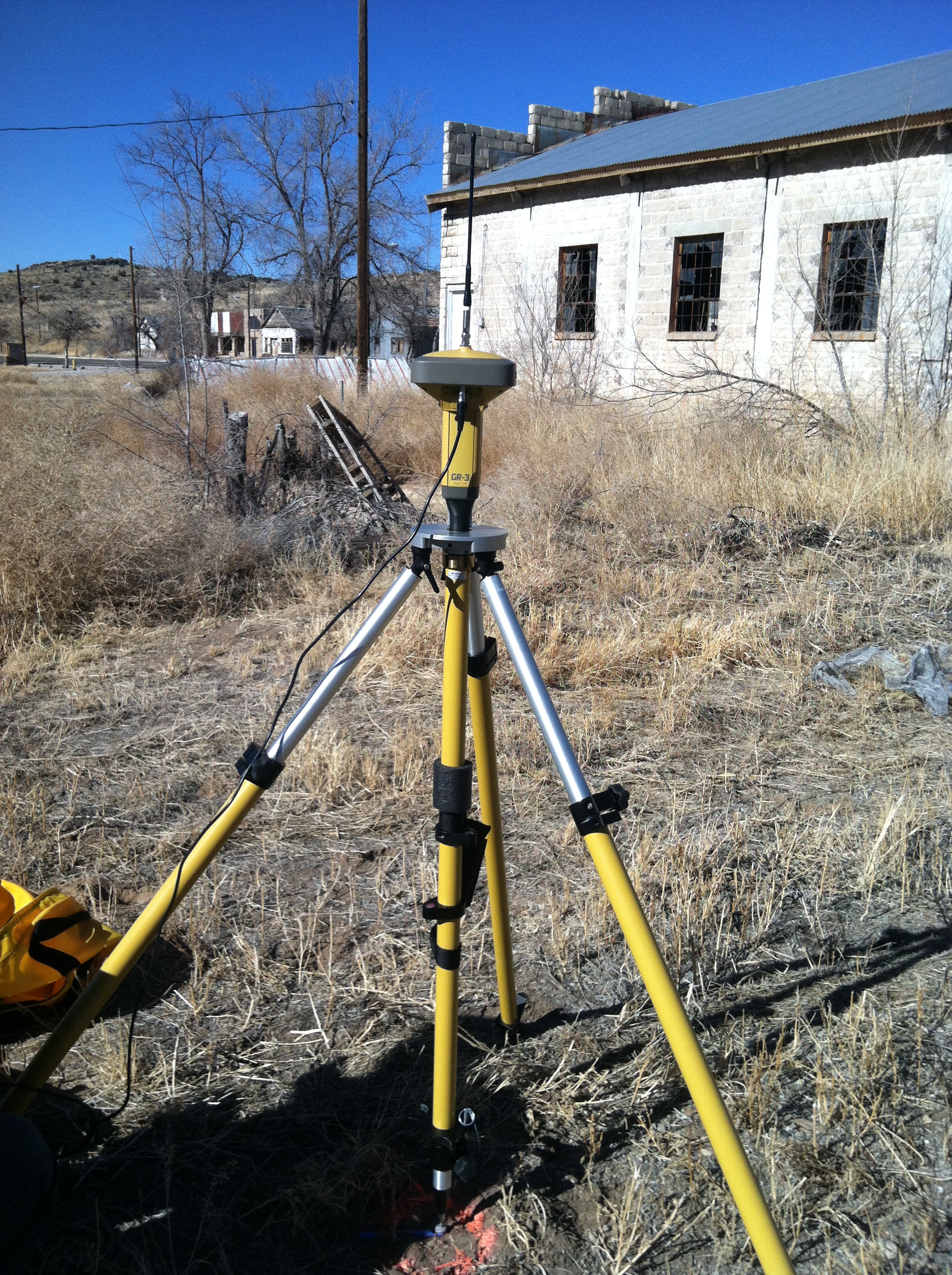
Based upon an on-site inspection of the building location for the proposed Hualapai Museum, AE has deemed it necessary to perform a detailed topographic survey of the area. A detailed topographic survey shows the topography, or elevation and contours, of the existing ground. The topographic survey will also show all relevant buildings and roadways in the area. A survey is necessary in order to coordinate grading and fill quantities for the site and create a level building foundation, as well as an even drainage grade for paved areas to prevent pooling. Data collection for creating a topographic map will be accomplished through a field survey. A field survey will serve as a more accurate method of creating a three-dimensional topographic map than an aerial-photogrammetric survey. An aerial photogrammetric survey would be more expensive, and would not provide adequate accuracy for computing cut and fill quantities. Due to the relatively small survey area, a topographic survey performed from ground controls with a total station will be a more cost effective process.
